Needs Assessment
Review the initial conditions, objectives, and supporting information to identify service needs.

PT Parama Karya Enjineering
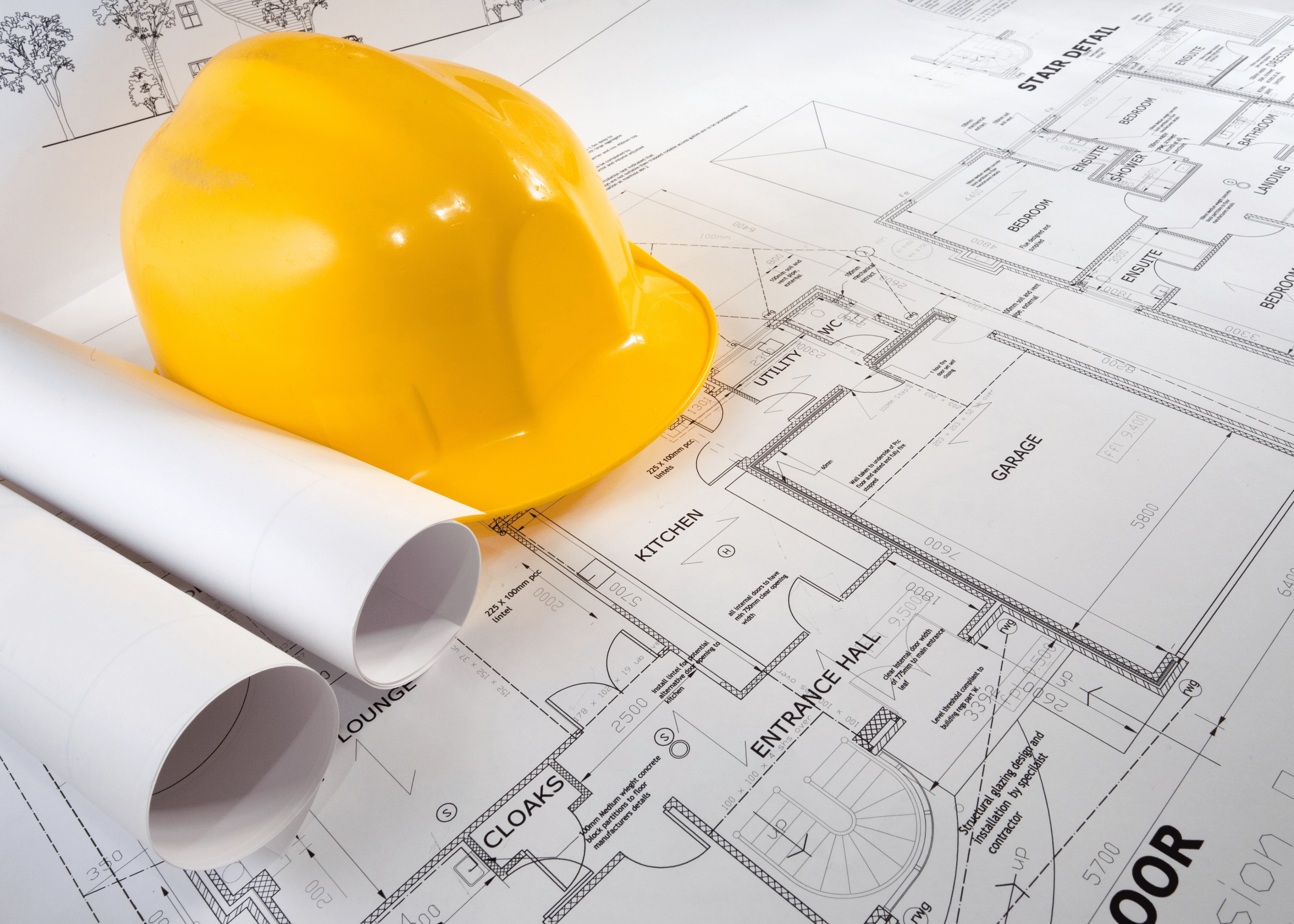
A site plan is a detailed drawing that illustrates the layout of a land area or development site, showing the placement of buildings, access roads, utilities, open spaces, and other supporting elements
A site plan is a detailed drawing of a land area or development site that illustrates the placement of buildings, road access, utilities, open spaces, and other supporting elements. This document serves as a key reference in planning and executing construction activities to ensure compliance with applicable spatial planning, technical standards, and permitting regulations.
The validity period of a site plan refers to the timeframe during which the approved layout plan may be used as a reference for construction activities. During this period, the site plan serves as the official basis to ensure that development is carried out in accordance with the approved design and the requirements set by the relevant authorities.
A site plan serves as a guideline for orderly, efficient, and regulation-compliant development, including the arrangement of building placement, access routes, and utility systems. Its importance lies in preventing irregular development and ensuring that all construction activities follow the approved planning framework, thereby avoiding land-use conflicts and supporting structured urban development.
The processing time for a site plan generally depends on document completeness, the complexity of the development proposal, and the technical review process conducted by the relevant authorities. If all requirements are complete and no revisions are needed, the administrative review and technical assessment can typically be completed within a relatively short timeframe in accordance with local service standards.

Proper preparation helps you understand technical and administrative needs before work begins. Reviewing the project early allows the next steps to reflect your priorities.
Review the initial conditions, objectives, and supporting information to identify service needs.
Review document completeness and identify information that still needs to be provided.
Support implementation and technical coordination within the agreed scope of work.
Present the work results along with relevant notes and recommended next steps.
Your project needs and conditions guide the approach to the work.
Needs, progress, and issues are discussed together so the next steps are understood.
Timing is discussed after reviewing the scope and document readiness. The schedule takes account of work complexity and any external processes.
Information, notes, and work results are organized to support your next steps.
Coordination with your contact person helps align documents, access, and implementation.
Review results are explained so you know what to complete or follow up on.
Requirements

Work Flow
Conduct verification of administrative documents to ensure completeness and compliance with the requirements in the Site Plan / General Planning Arrangement (GPA) preparation process
Collect technical data of the site as the basis for preparing the Site Plan / General Planning Arrangement (GPA), ensuring alignment with existing site conditions and applicable regulations
Prepare and submit the Site Plan drawings based on site technical data and applicable spatial planning regulations
Conduct administrative verification and technical assessment to ensure that the Site Plan is in compliance with applicable spatial planning regulations and requirements
The Site Plan is issued and approved after all administrative verification and technical assessment processes have been completed and confirmed to comply with applicable requirements and regulations
Entrust your project's technical and structural requirements to our experts, delivering reliable solutions and measurable outcomes every step of the way.